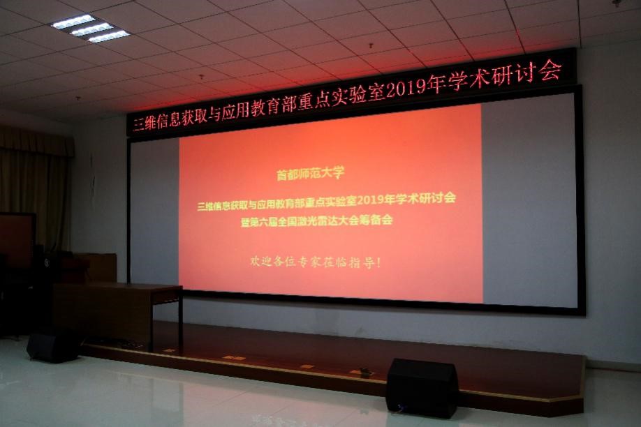
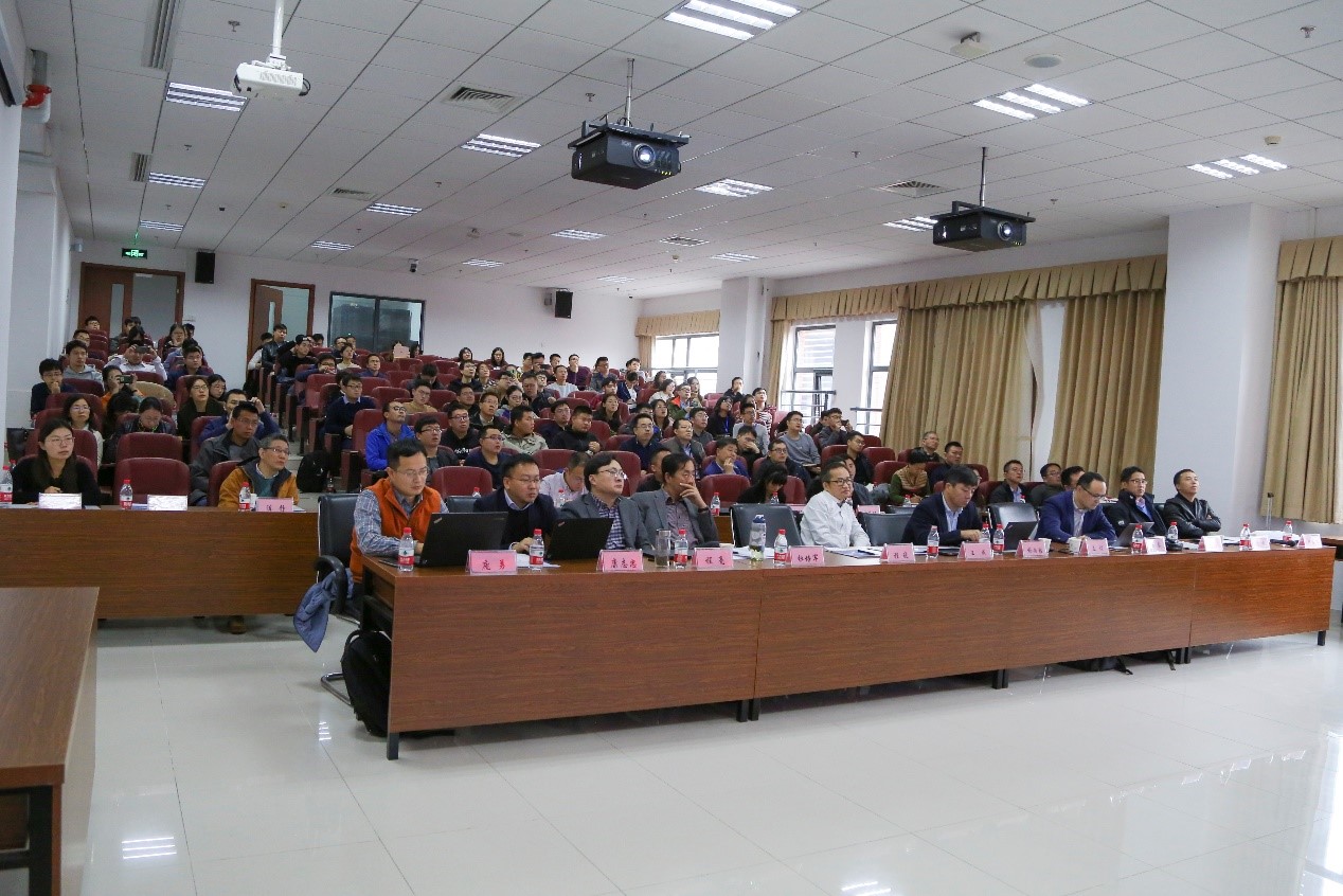
On November 17, 2019, the 2019 academic seminar and the preparatory meeting of the 6th National laser radar conference of the Key Laboratory of the Ministry of education of 3D information acquisition and application (hereinafter referred to as "the laboratory") were held in the multi-functional report hall of the science building of our university. Nearly 100 members of the academic committee of the laboratory, members of the Organizing Committee of the Sixth National lidar conference, experts and outstanding young scholars in remote sensing surveying and mapping field, backbone of laboratory scientific research, and doctoral students attended the seminar.
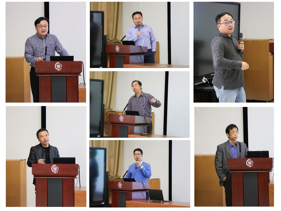
This meeting is divided into two parts: the morning session and the afternoon session. The morning session is presided over by Professor Zhong Ruofei, director of the laboratory, and Professor Zhang Wuming, Beijing Normal University. The afternoon session is presided over by Professor Deng Lei and Associate Professor Du Shihong, Peking University. At the beginning of the morning meeting, Professor Zhong Ruofei first introduced the main participants, and expressed thanks and welcome to the experts from afar. Subsequently, the experts at the meeting focused on the cutting-edge issues of the theory and method of Geographic Information Science, and made wonderful reports on the research, progress and future development plan of their teams in the near future.
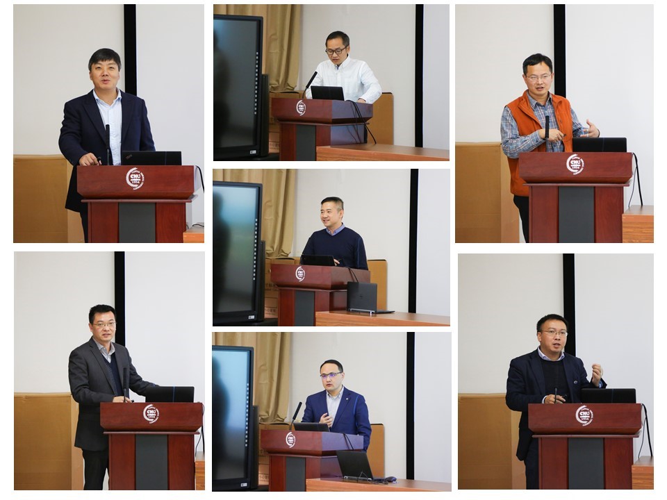
Liu Dong, researcher of Anhui Institute of Optics and mechanics, Chinese Academy of Sciences, Duan Fuzhou, associate professor of laboratory research, Xie Donghai, Wang Cheng and Wen Chenglu, associate professors of Xiamen University, respectively reported their research results on multi-sensor hardware integration and algorithm design. Liu Dong introduced the Airborne Hyperspectral Imaging Lidar System of "geometric 3D spectral information integrated acquisition". Duan Fuzhou explained the principle and expression of light field, and showed you the latest development of light field camera. Wang Cheng proposed a new method of BIM modeling based on mobile 3D laser scanning. Aiming at the problem of point cloud high-precision matching, Xie Donghai put forward the idea of SLAM algorithm combining ICP with feature point matching.
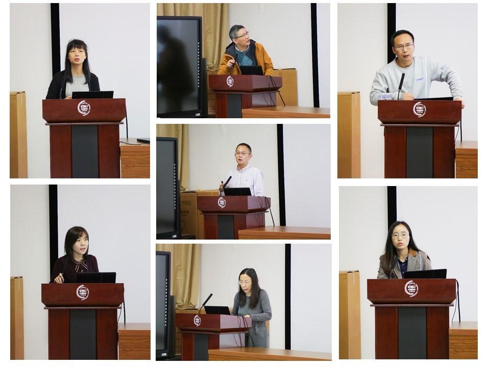
In terms of the application research of lidar technology, Professor Yang Bisheng of Wuhan University introduced the 3D understanding and engineering application of lidar in large-scale cities; researcher Wang Cheng of Chinese Academy of Sciences showed the main process and effect of airborne lidar in data acquisition, analysis and application of power corridor; Professor Ying Shen of Wuhan University met in the modeling of three-dimensional space property right management In addition, Professor Zhong Ruofei, deputy director of the laboratory, introduced the design of vehicle lidar and satellite remote sensing satellite, which only provided the greatest value for users. Professor Du Peijun of Nanjing University, taking Nanjing City as the research area, revealed the landscape pattern and city of construction land Professor Cheng Xiao of Sun Yat sen University put forward the idea of the integrated three-dimensional exploration of the polar ice cover, the sky and the earth under the background of global warming. Dr. Sun Haili, the backbone of the laboratory, focused on the research direction of deformation monitoring of rail transit engineering, demonstrated the development of hand push / electric mobile tunnel detection system, remote image deformation monitoring system developed by the team, as well as the development progress of supporting acquisition software and data post-processing. According to the situation of wide distribution, complex vertical structure and rich species of forest resources, researcher Pang Yong of Chinese Academy of forestry introduced the two generations of airborne remote sensing system developed by the team, introduced its data processing flow, and the application of fusion point cloud and hyperspectral data in forest in detail.
This seminar is rich in content, and also has wonderful sharing of other topics, including modeling algorithm, software and hardware research and development, as well as space, space and ground multi-scale mapping research, etc. Professor Hu Deyong, Professor Zhang Aiwu, associate professor Ke Yinghai, Professor Cheng liang of Nanjing University, Professor Kang Zhizhong of China University of Geosciences (Beijing), Professor Chen Jing of Wuhan University and so on Made a wonderful report.
In addition, the 6th National laser radar conference will be held in Beijing by China University of Geosciences (Beijing) and Capital Normal University in May 2020. The organizing committee members of the conference discussed in detail the time and place, theme, organization, hosting and co organizing policies and conference affairs policies of the 6th National laser radar conference.
The successful holding of this symposium has promoted academic exchanges among disciplines, provided a good platform for in-depth discussion and exchange for researchers of our university, especially young scholars, demonstrated the latest theoretical and applied research results of the laboratory, and further enhanced the cohesion and collaborative innovation ability of the laboratory.
