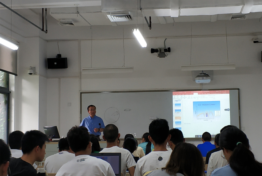
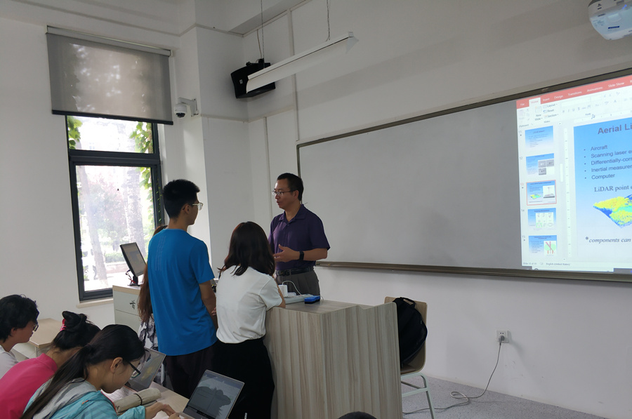
During the summer school, we took the Advanced Environmental Remote Sensing for 5 days. Our college invited professor Luo Wei to teach this course and this course is taught in English. Professor Luo Wei is from the Northern Illinois University, the United States.
He introduce basic knowledge of remote sensing in the morning and we practiced on computers in the lab during the afternoon. At first, it was challenging for most of us to have the specialized course in English because there were too many new words. However, thanks to professor Luo’s detailed and vivid lecture, we became more and more enthusiastic in the remote sensing field. Step by step, we got to know more about the photogrammetry, the electromagnetic radiation principles, the digital image processing, the laser radar technique and so on.
Lab class was arranged in the afternoon. With the help of teaching assistants, we mastered the Envi to deal with daily tasks, finding it interesting to explore the TM images. In just five days, we have a better understanding of our majors, GIS and RS. It’s proud to see how extensive and useful that RS can be put into the daily life!
ZHENG Anran (郑安然), 2017 GIS Class