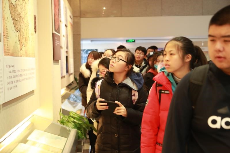
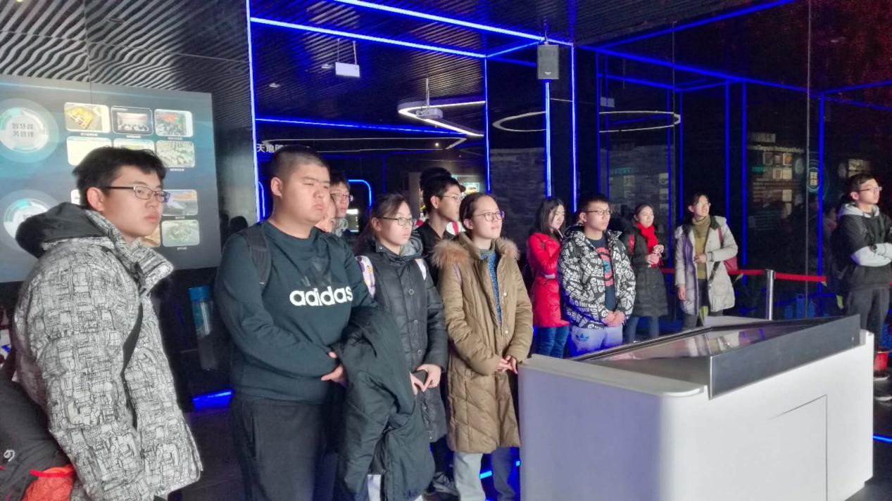
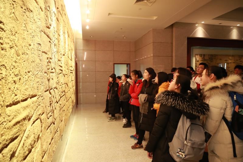
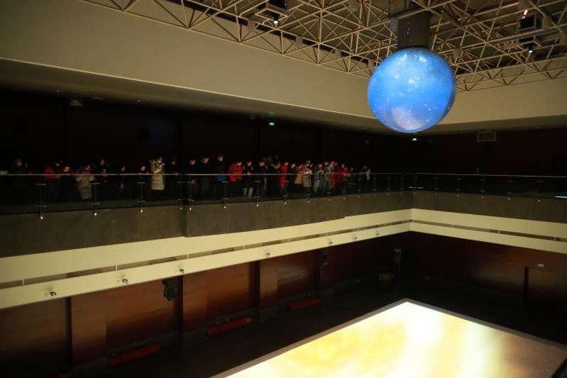
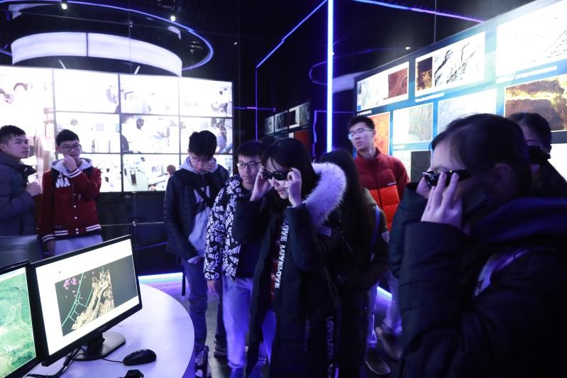
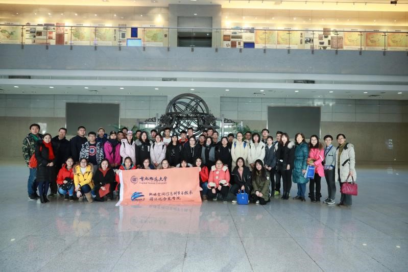
On January 9, on the second day after the end examination of the first semester, 41 freshmen of College of Geospatial Information Science and Technology and the leader teachers started the social practice activity. This activity took one week.. The social practice activity is a special optional course designed for the students whose major are Remote Sensing and Geospatial Information Science. The aim is to enhance the understanding of the progress of professional scientific research and the current status of technology in two majors. In this week, students learned by visiting, studying and exchanging ideas with companies which includes Chinese Academy of Surveying and Mapping(CASM), Beijing Institute of Surveying and Mapping(BISM), China ZHENGYUAN Geomatics Co., Ltd., Super Map Software Co., Ltd., and Institute of Remote Sensing and Digital Earth Chinese Academy of Sciences.
The first stop is Chinese Academy of Surveying and Mapping. Following the guide, students visited The Chinese Surveying and Mapping Science and Technology Museum. Then they listened attentively to the relevant lectures. There are 4 lectures: the introduction of Chinese Academy of Surveying and Mapping, the development process of four navigation systems GPS, GLONASS, GALILEO, BDS, monitoring the geographical conditions, and the research and development and application of Internet space big data search and information technology.
The second station is to the Beijing Institute of Surveying and Mapping. Students also attended lectures in the conference room. First they watched short video of "BISM Trip", and listened to the introduction of BISM presented by vice president and the lectures of our direction and mission in the age of big data, Beijing basic surveying and mapping business status and prospects. Finally, nearly three hours of lectures ended with a round of applause.
The first day of the practice activity was over. Students said that the course which college arranged is both full and rich. Through the visits and lectures, students understood the history of Chinese surveying and mapping, witnessed the progress of science and technology. The extensive application of surveying and mapping, and the development of geographic information industry show the deep and profound connotation of Chinese culture. Students knew the vicissitudes of China's historical territory. In this way, the practice activity strengthens the consciousness of national territory. Moreover, it helps students realize the surveying and mapping work in the land space development, the resource saving utilization and other fields. Students also said that they must inherit the spirit of surveying and mapping and study hard to make contributions in the surveying and mapping field.
By ZHAO Yuxin, 2017 GIS Class