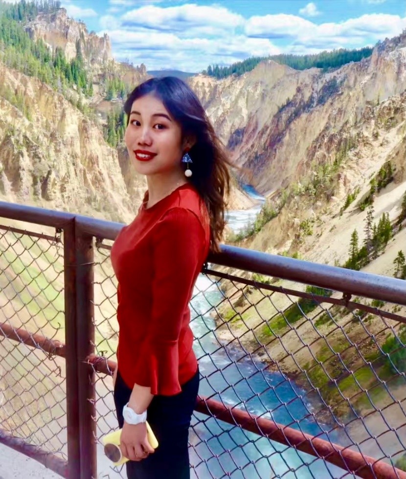
There I was, standing at the mountain of Yellowstone National Park. Taking a bird’s eye-view of the national park, I was entranced by its complex and diverse original ecology physiognomy; and admired the sophisticated GIS management mechanism in America. It was an early adopter of ArcGIS, a system embraces various DataSet, to monitor and forecast potential natural danger. That was a good example showing how my major, GIS, provides data-driven solutions to today’s environmental issues. The application of GIS in the environmental management is still an emerging field in China; in comparison, in the United States, GIS has been an advanced and matured tool in managing natural resources and environmental protection. To me, this experience is my bridge to University of Pennsylvania, where I found my Mecca and began my sailing ship to explore this arena full of amazement and curiosity.
It is impossible to navigate without adequate supply. Braving adventures instilled in me a sense of invincibility that pushed me to tackle new experiences, engaging in many research projects. In my junior year, I explored the hydrological condition of Tibet, so it can set the stage for future research in hydrology. Employing hydrological analysis in ArcGIS, I successfully extracted and classified Tibet's lakes, and edited automation procedure for it with Arcpy. My original programming about the lake not only materilized the quick-searching of lake sampling outside the Tibet, but also greatly improve experiment efficiency. This venture into Tibet has affirmed my passion for geography; it has given me the confidence to harness programming to tackle geographical problems.
The best thing about GIS is that there is no clear-cut bound of it, which can also function in other fields such as public health. COVID-19 is one of the most pressing and complex issues we face as a global society. I cannot accept the fact a flood of people have been infected by such preventable disease. I want to do thing. Upon exploring the spatial distribution pattern of COVID-19 in New York States with ArcGIS and GeoDa, I detected worst-hit area that urgently needed medical resource. Moreover, by applying the Geodetector method, I examined the spatial association between social economics elements and demographic data with the incidence rate of COVID-19 in New York. I believe GIS can help health organizations and government visualize, analyze, interpret and present complex geo-location data of COVID-19.
To be a navigator, a big problem is to find his destination on the broad sea. Fortunately, through these projects I have found mine among the numerous areas of geography - to work as a researcher in GIS. My ambition to become a talent in GIS has largely been driven, in additional to my own academic experiences, by my work experience these years. Serving as a GIS and statistics analyst at Chinese Academy of Surveying and Mapping allowed me to delve into land utilization and farmland protection. This experience cemented my geospatial data analysis skills, and enabled me to have a de facto feeling of how to harness GIS into land utilization. I was also an active member of university’s field practice. I materialized the land utilization classification mapping through which I got to know how 3S technological survey was applied into monitoring wetland change. The above two experience provided academic and practical guidance in land utilization. Besides, I was involved myself into an environmental carrying capacity project in Shenzhen Visiondom ESG Co., Ltd, where I combined remote sensing techniques and statistical analysis to build a model, which can estimate the pollution situation of water resource in the Yangtze River Delta region. From these projects, I realize that as sustainable cities need to strike a dynamic balance between economic, social, cultural, and environmental development goals, planners can gain strong data support for the protection and management of ecological environment by using GIS analytical tools.
From CNU to NIU, I have met the amazing people from all walks of life, and I feel a deep and stirring sense purpose in geographical work. I am empowered and proud of my contributions, but I also know I can do more. I want to go further.
But where should I go? University of Pennsylvania will be my next station. I am optimistic for the future and the journey that lies ahead, as I do everything in my power to make the environment we live better.
